 Scan Tech Surveys
When It Comes to Solutions!
Tuesday, 19 July 2022 12:41
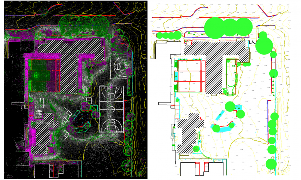
Primary School Feature Survey
Project Overview
Using 3D Scanner for feature surveys is the most effective way of doing them. We have recently completed a primary school feature survey captured by a hand-held LiDAR scanner (Data credit to Mine Survey Plus).
- Category: Feature Surveys
Published in
Projects
Friday, 15 July 2022 06:00
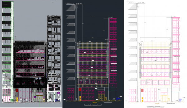
Façade Survey
Project Overview
The main goal of this project was generating the 2D Elevation View of a 6-story façade. The challenge of the project was a big tree in front of the building so multiple setups had to be done to get the full details.
The elevation view was delivered in AHD (Australian Height Datum).
- Location: Perth City
- Category: 3D Scanning - Architectural
Published in
Projects

