- 1300 15 45 62
- +61 490 815 610
-
This email address is being protected from spambots. You need JavaScript enabled to view it. - Mon-Fri 8:00 am to 5:00 pm
Projects
Some of Our Recent Projects

Feature Survey of a 9-Hectare site
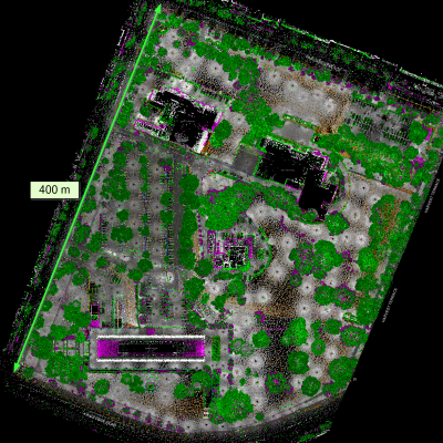
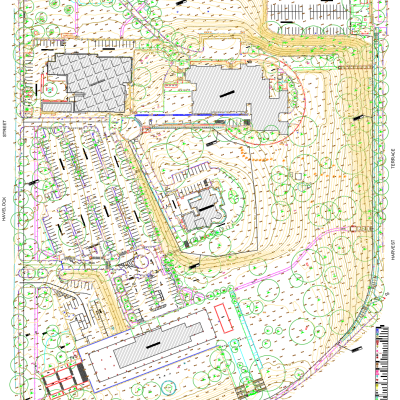
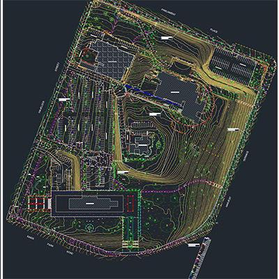
The primary objective of this project was to produce highly detailed master drawings for planning purposes. The site was scanned using Terrestrial Laser Scanning (TLS), with a total of 570 scans conducted to generate a complete point cloud survey. Subsequently, a comprehensive feature extraction process was carried out to create an accurate site plan.
Back to Category


