We provide a wide range of Geospatial services.
3D Point Cloud Surveys
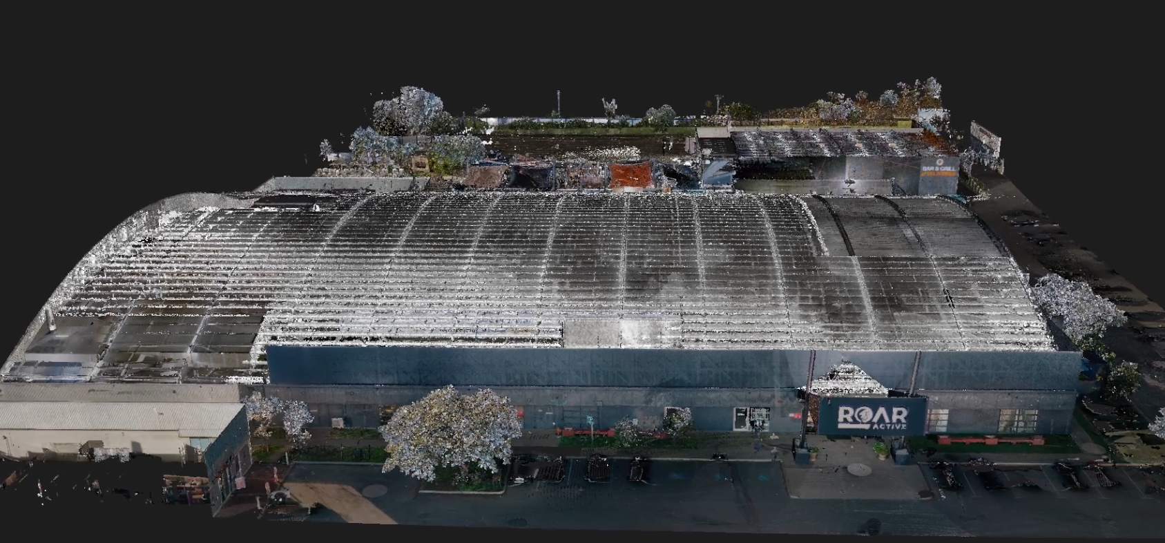
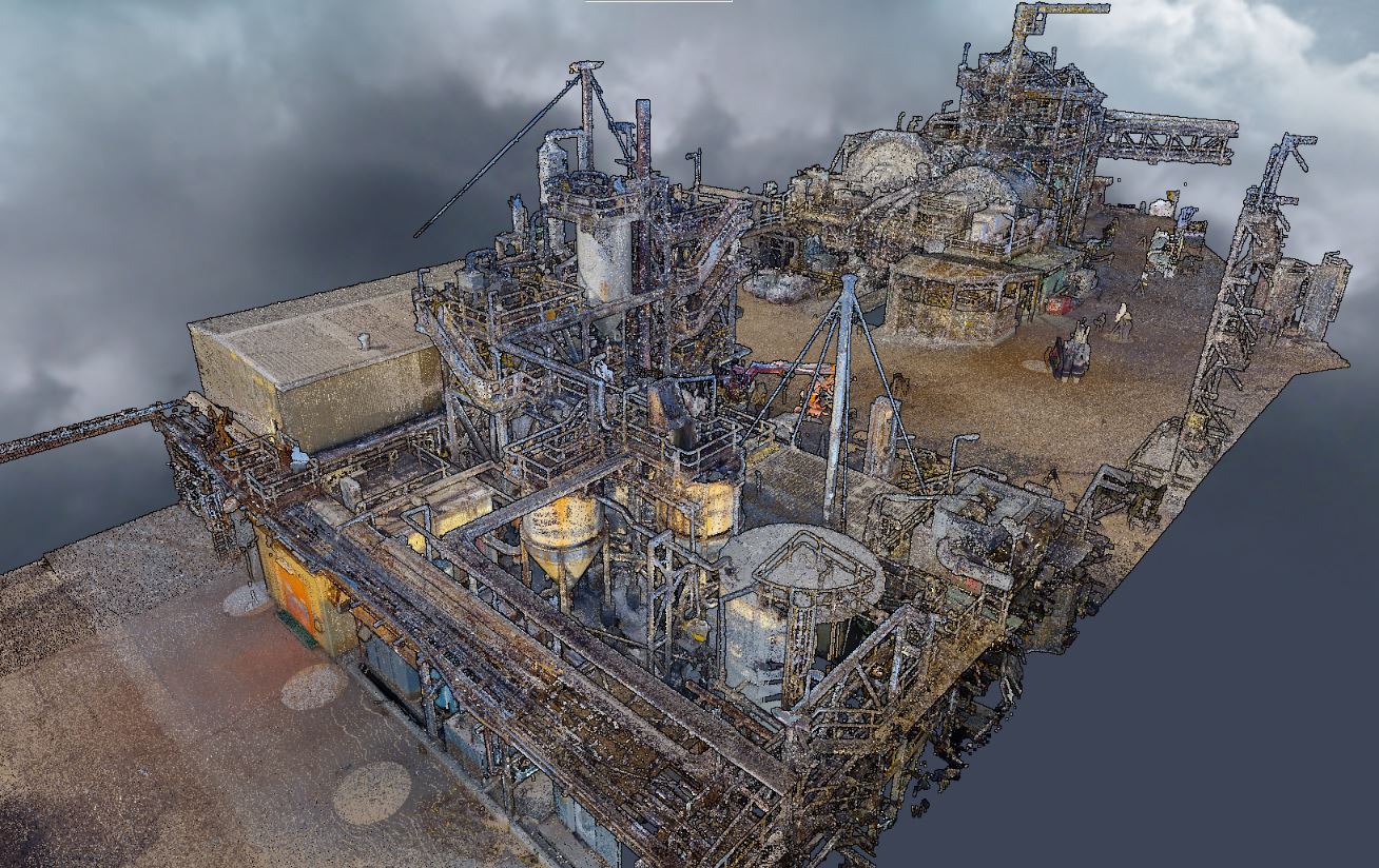
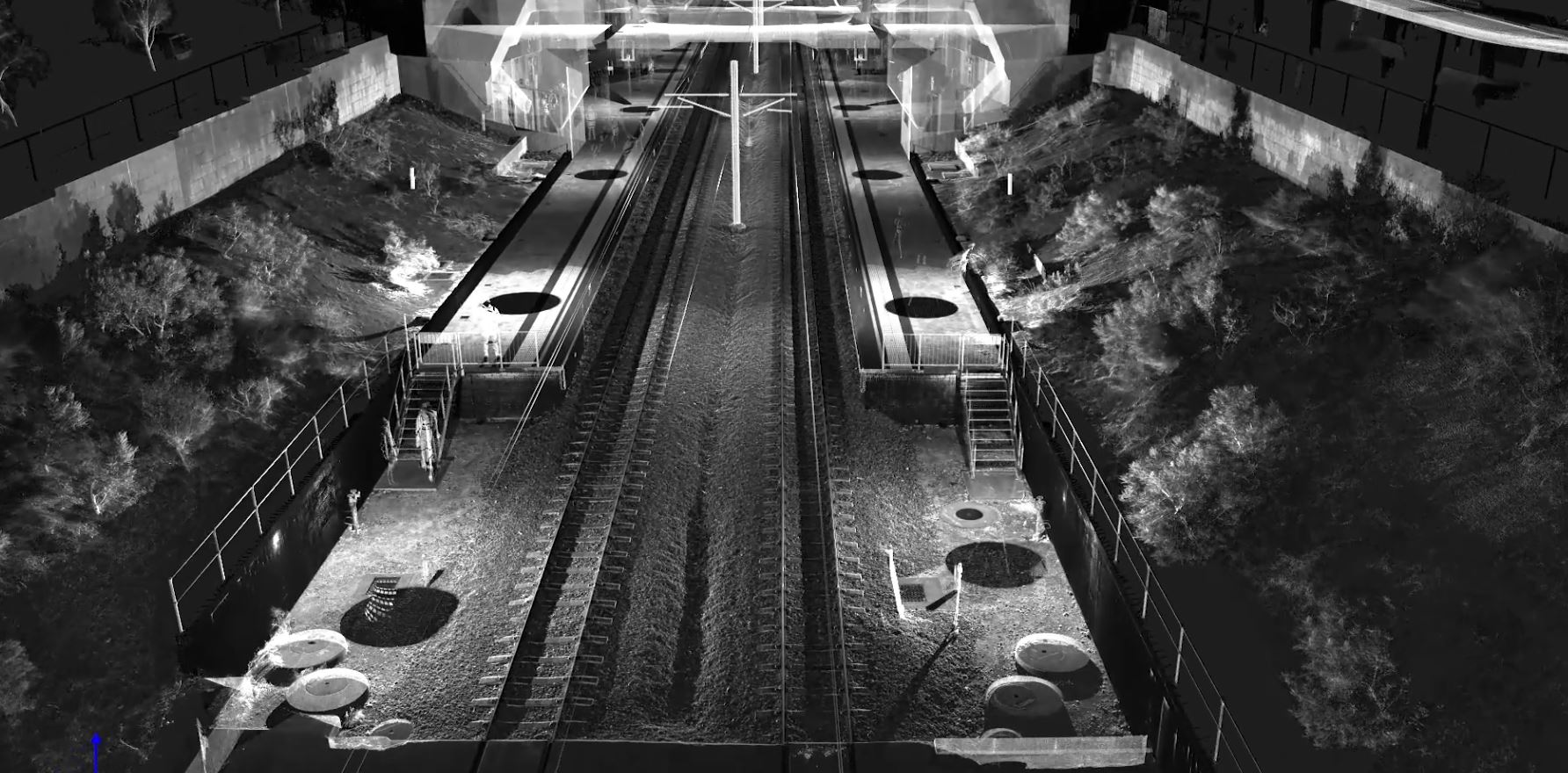
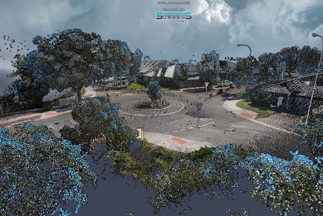
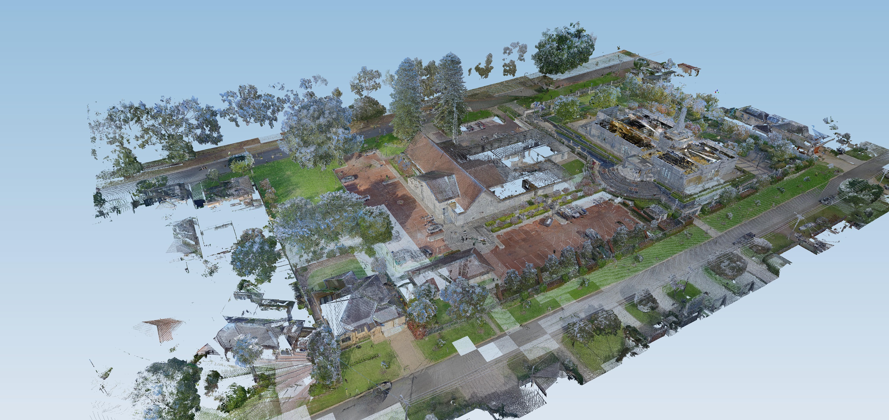
A 3D point cloud survey uses advanced laser scanning technology to capture precise spatial data of an environment or structure. The result is a detailed digital representation of the scanned area, consisting of millions of data points, which can be used for analysis, modeling, and design in various industries such as construction, architecture, and engineering. This technology ensures accurate measurements and efficient project planning
Feature Surveys
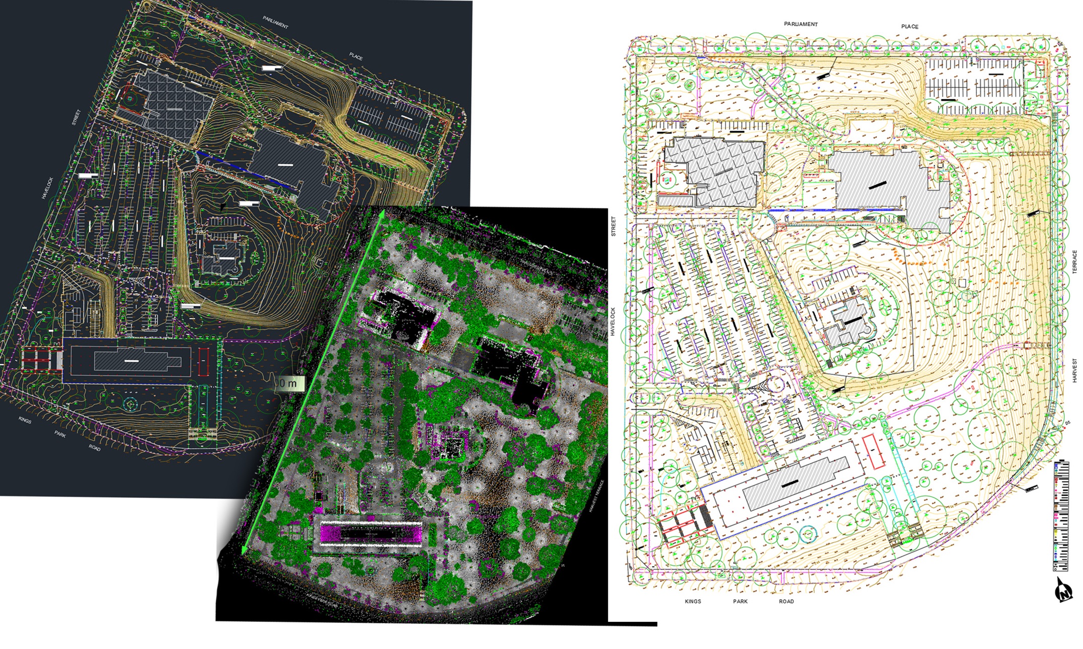

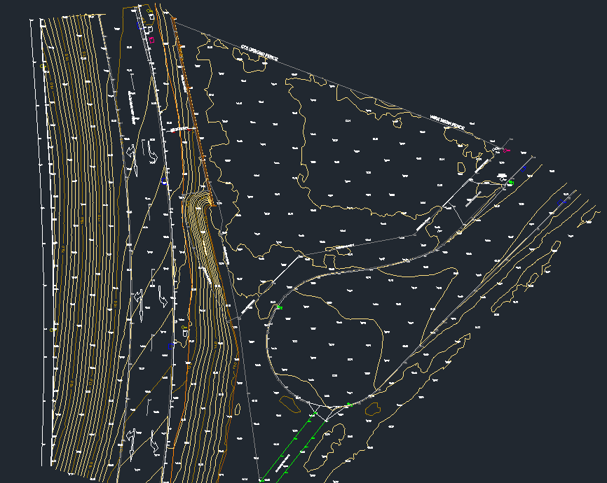
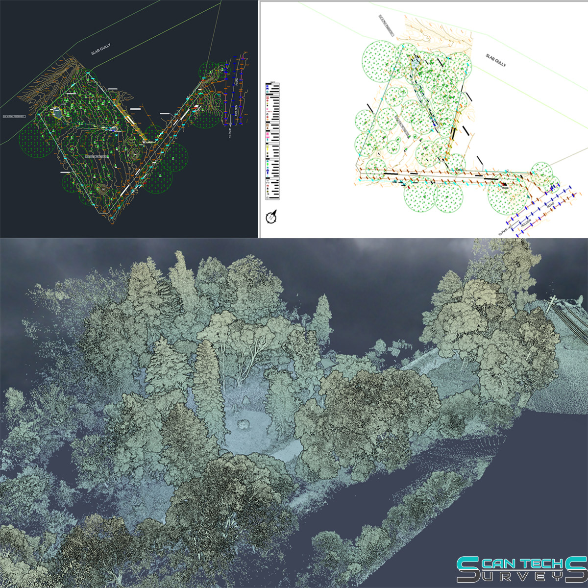
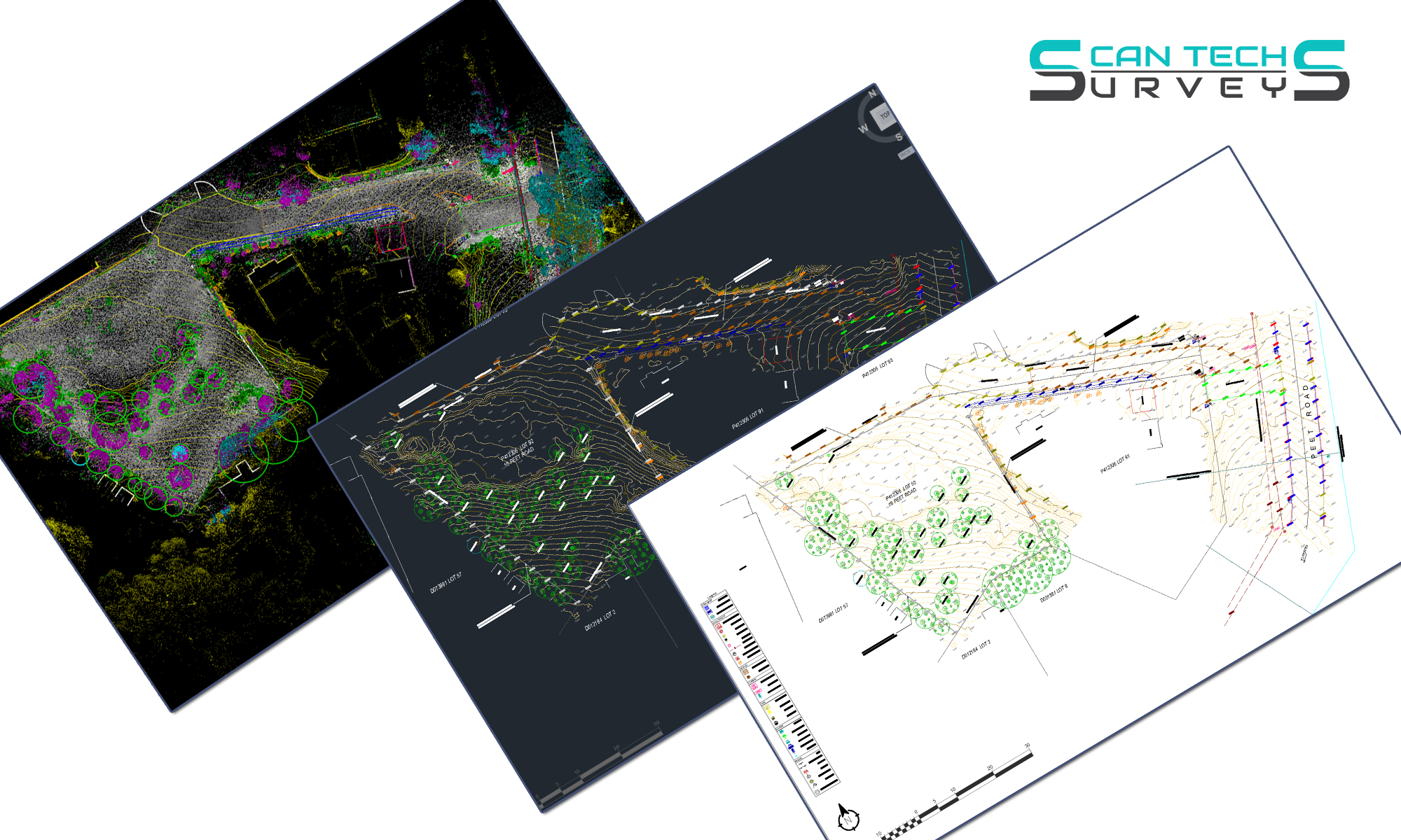
Feature surveys using laser scanning involve the use of advanced laser technology to capture precise 3D data of a site’s physical features. This method provides highly accurate measurements of terrain, structures, and other features, which can then be used for detailed analysis, planning, and design. Laser scanning allows for fast, non-intrusive data collection, making it ideal for infrastructure projects, land development, and renovation planning. The resulting point cloud data ensures a high level of accuracy and efficiency in creating detailed survey plans.
Internal Building Surveys
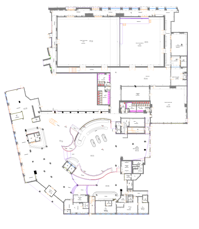
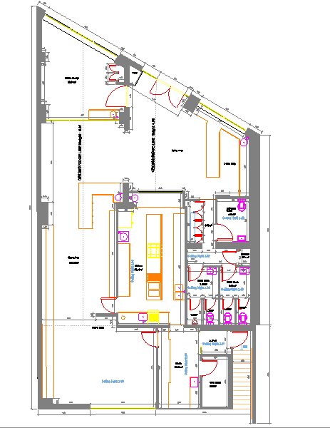
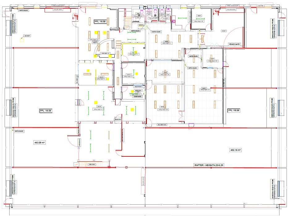
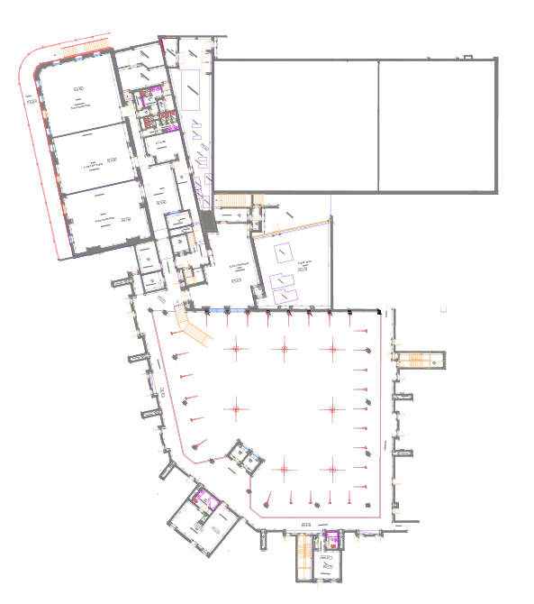

At Scan Tech Surveys, we provide highly accurate floor plan surveys utilising the latest 3D scanning technology. Our process captures every detail of a building’s interior, including walls, doors, windows, and structural elements, to create precise and reliable floor plans. These surveys are ideal for renovations, refurbishments, space planning, and facility management, giving clients confidence in their project decisions from the very start.
Scan to BIM
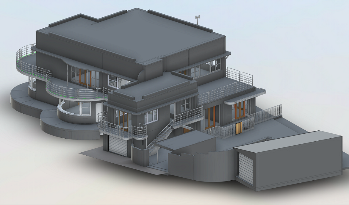

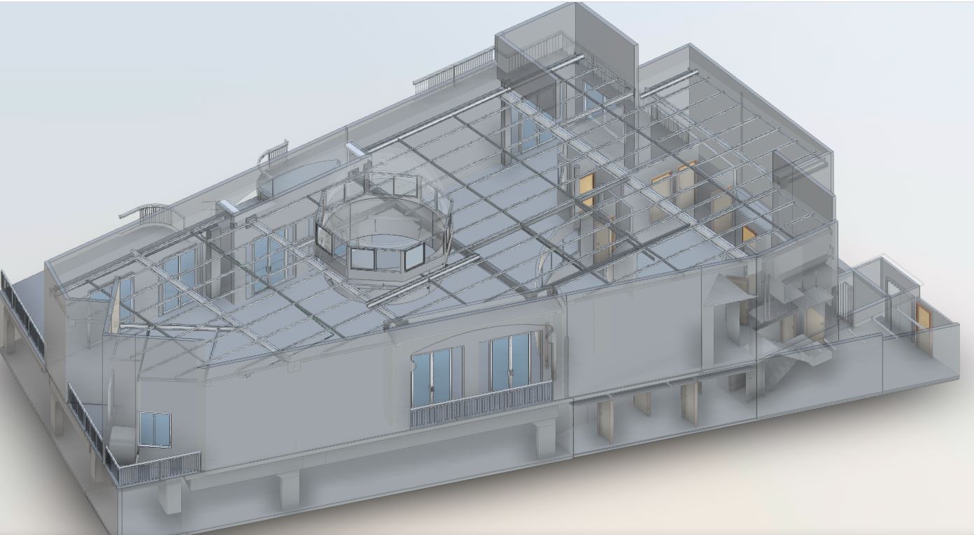
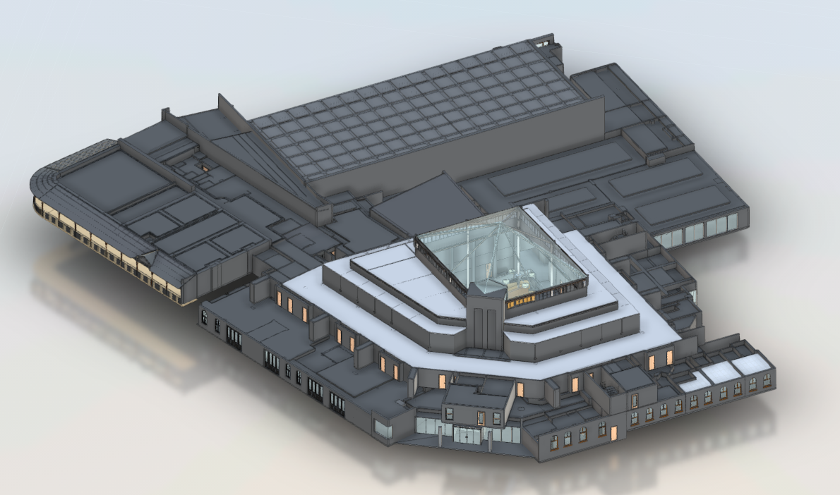
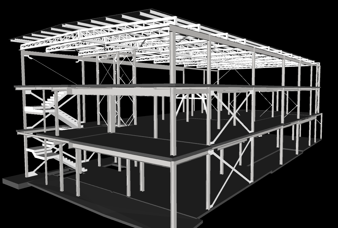
Scan to BIM (Building Information Modeling) services involve converting 3D laser scan data into detailed digital models. Using point cloud data captured from laser scanning, we create accurate, as-built 3D models of existing structures. These models can be used for architectural design, renovations, and construction planning. Scan to BIM ensures precise documentation of a building’s current state, improving efficiency in project planning, reducing errors, and enhancing collaboration among architects, engineers, and contractors
Structural Surveys
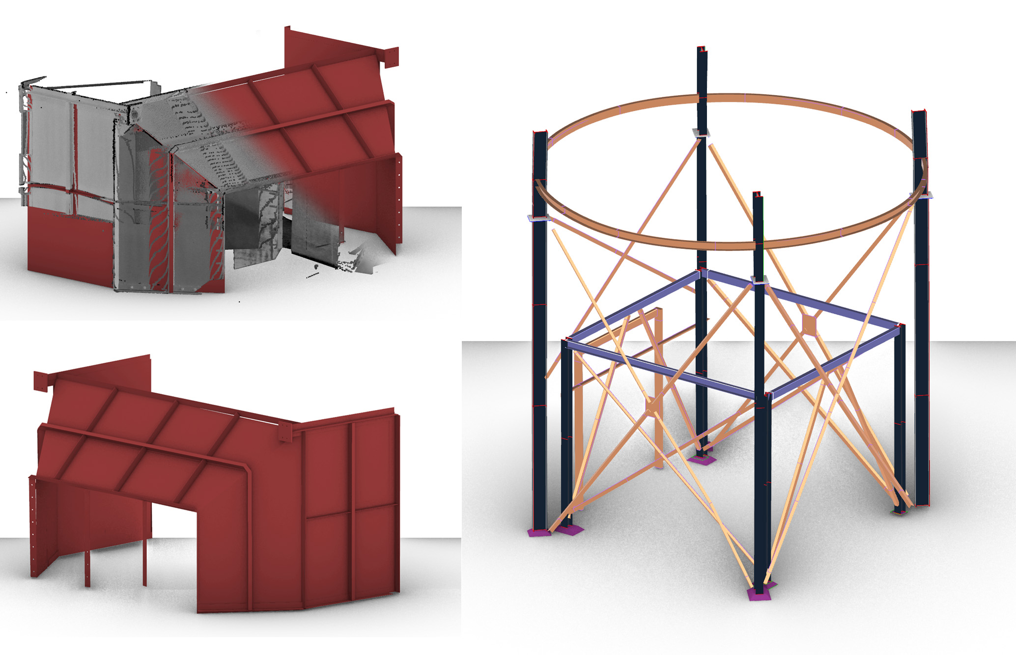
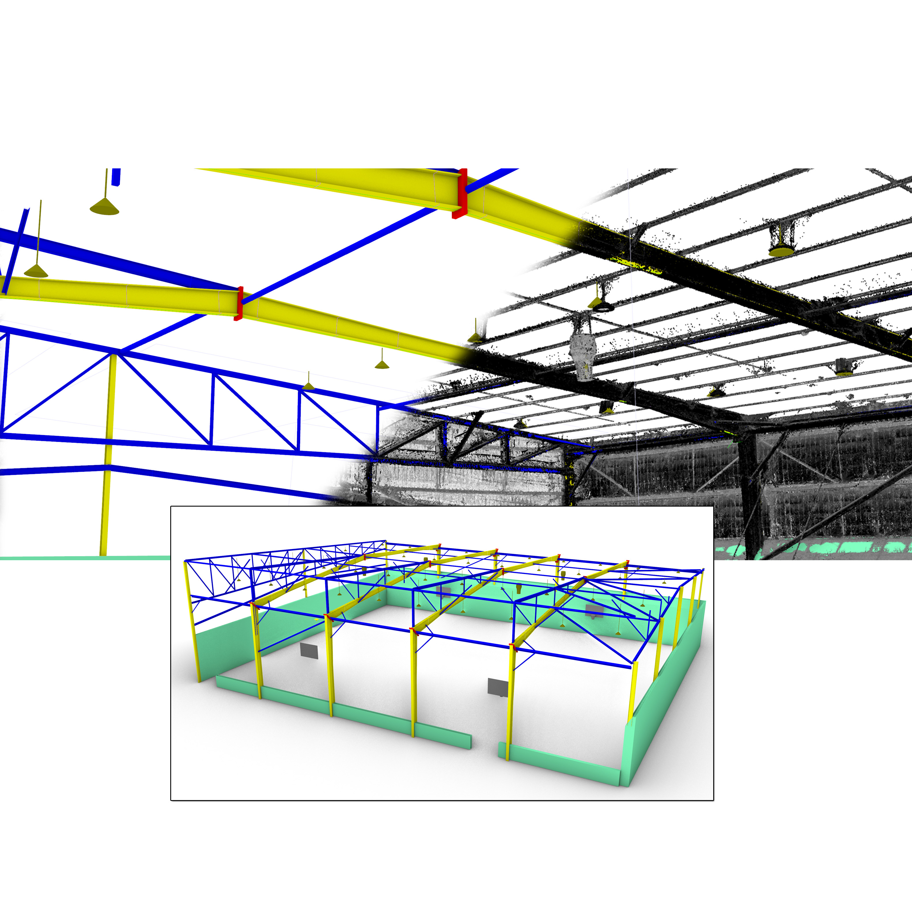
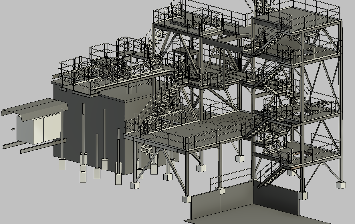
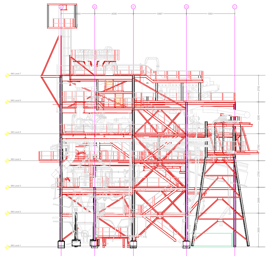
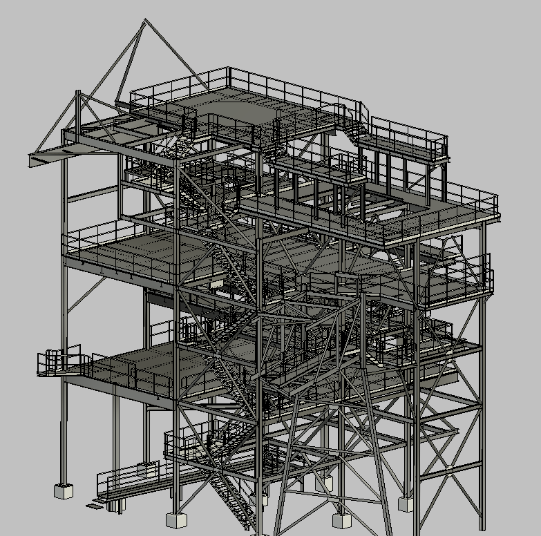
Structural surveys using advanced laser scanning provide precise data to assess the condition and integrity of buildings, bridges, and other structures. By capturing detailed 3D point cloud data, these surveys identify structural deformations, misalignments, or damage. This information is critical for maintenance, renovation, and compliance with safety standards. Structural surveys ensure accurate analysis and informed decision-making for repairs or redesigns, making them an essential tool for architects, engineers, and project managers.
3D Scanning of Boats and Vessels
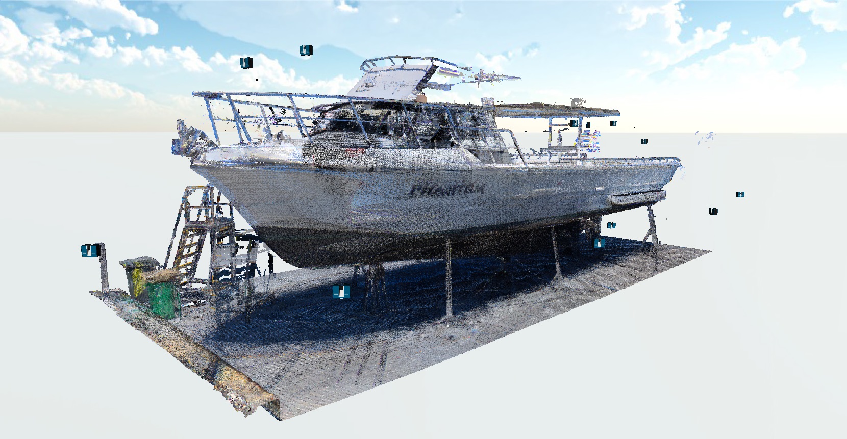
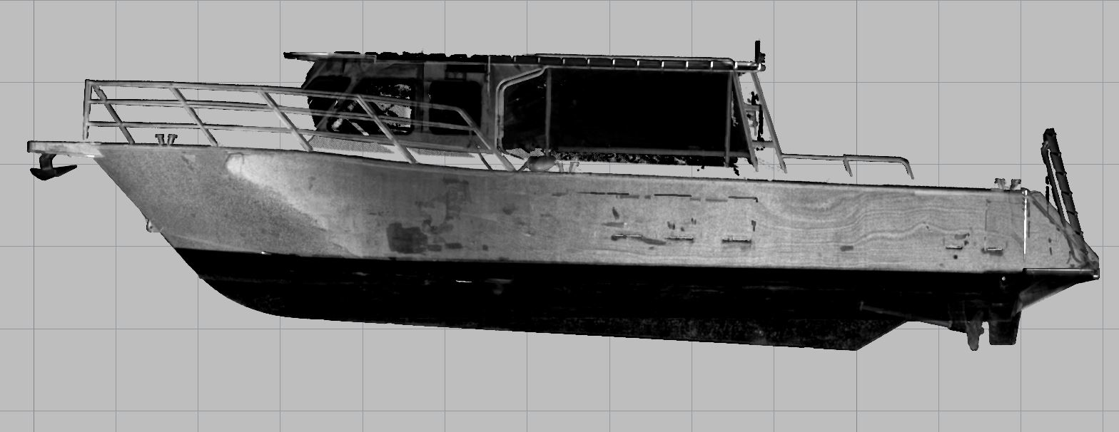
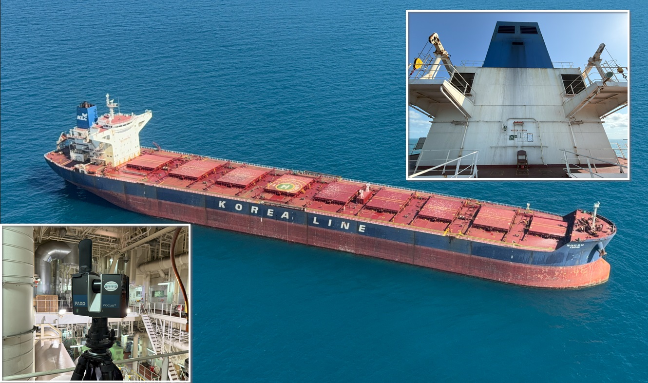
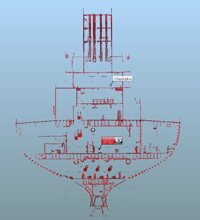

3D scanning of boats and vessels is a cutting-edge process that captures highly accurate and detailed digital representations of marine structures. Using advanced laser or photogrammetry technology, this method creates precise 3D models, enabling efficient inspections, modifications, and maintenance. Ideal for hull integrity assessments, retrofitting projects, and design optimization, 3D scanning enhances precision, reduces project timelines, and minimizes costs by eliminating manual measurements and errors
Floor Flatness and Deformation Surveys
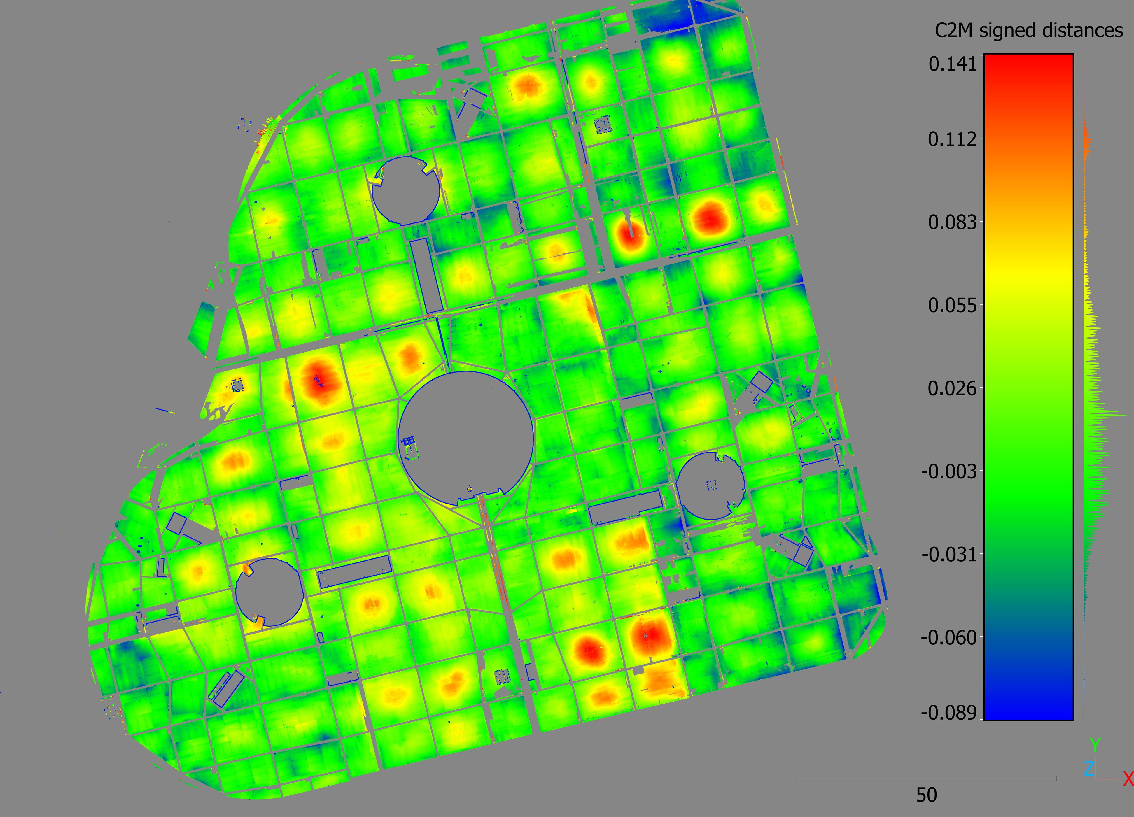
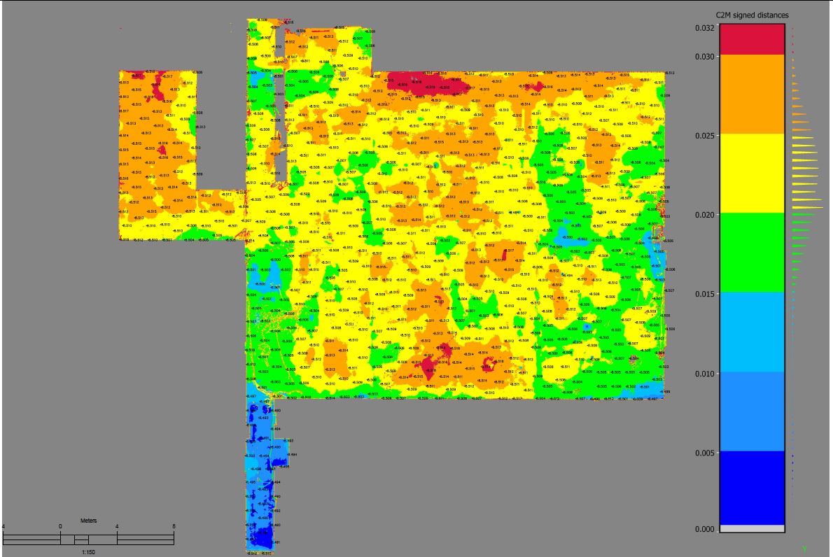
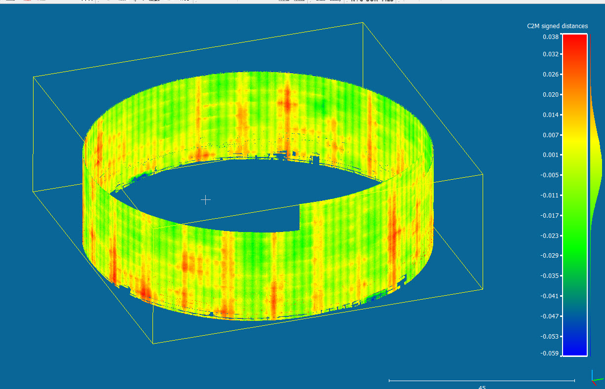

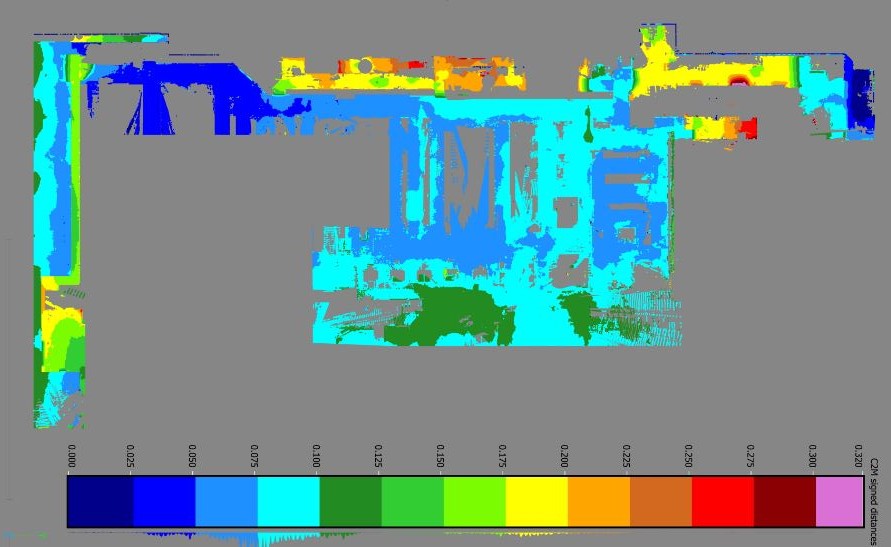
Your project has been constructed according to the design, but it still needs verification? Contact us! We offer a comprehensive range of as-built reports, including design comparisons to assess deflections and deformations. Whether it’s bridges, tanks, vessels, concrete beams, slabs, or more, we ensure they’re thoroughly checked. Additionally, we provide slab flatness and levelness reports to help identify uneven areas, such as pits and bumps, on the slab’s surface
Mechanical & Piping
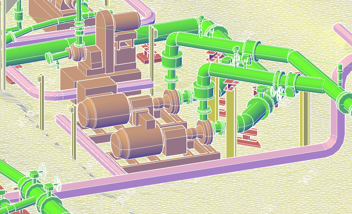
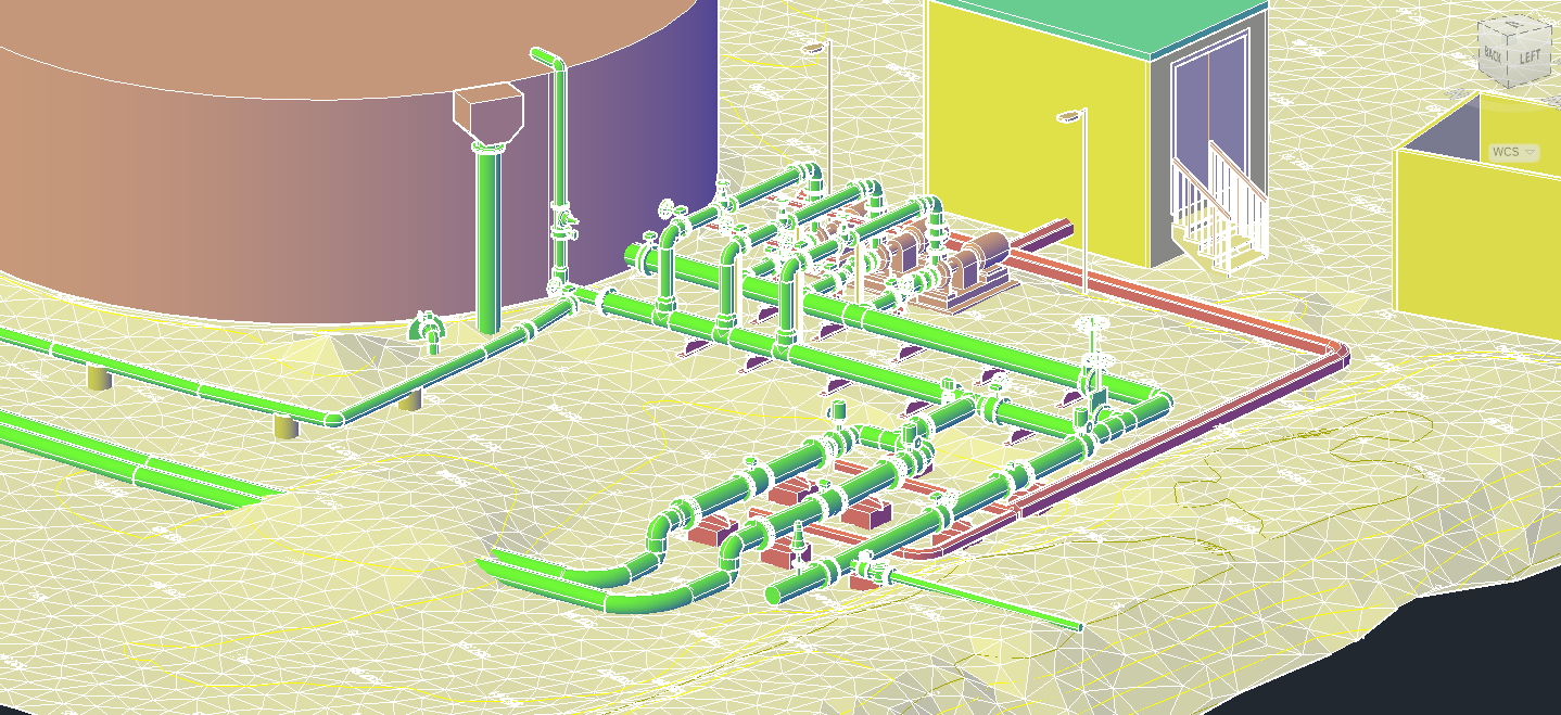
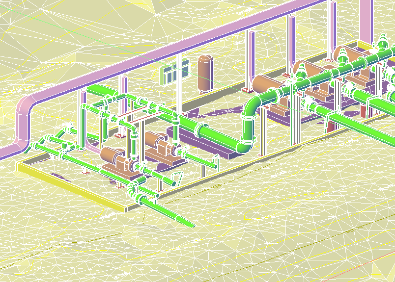
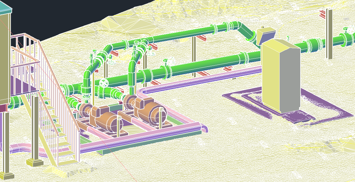
At Scan Tech Surveys, we specialise in precise 3D scanning and modelling of Structural, Mechanical, and Piping (SMP) elements within industrial plants. Using advanced laser scanning technology, we capture high-resolution point cloud data of complex plant environments with minimal disruption to operations. This data is then transformed into accurate, detailed 3D models that support engineering, maintenance, and upgrade projects.
Aerial Survey
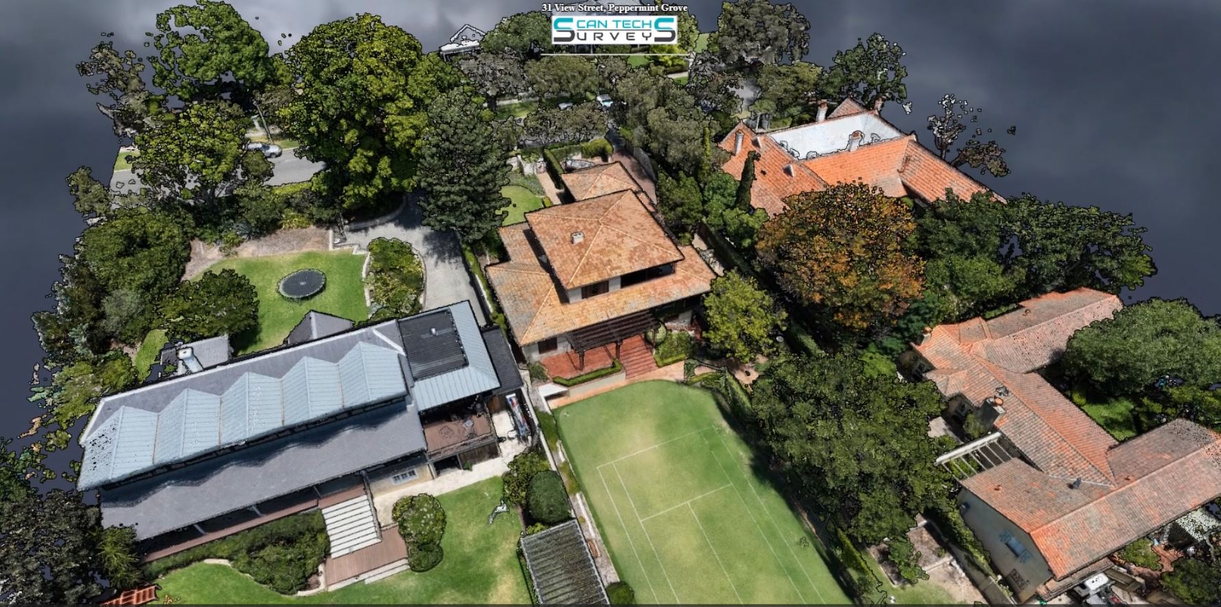

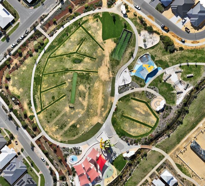
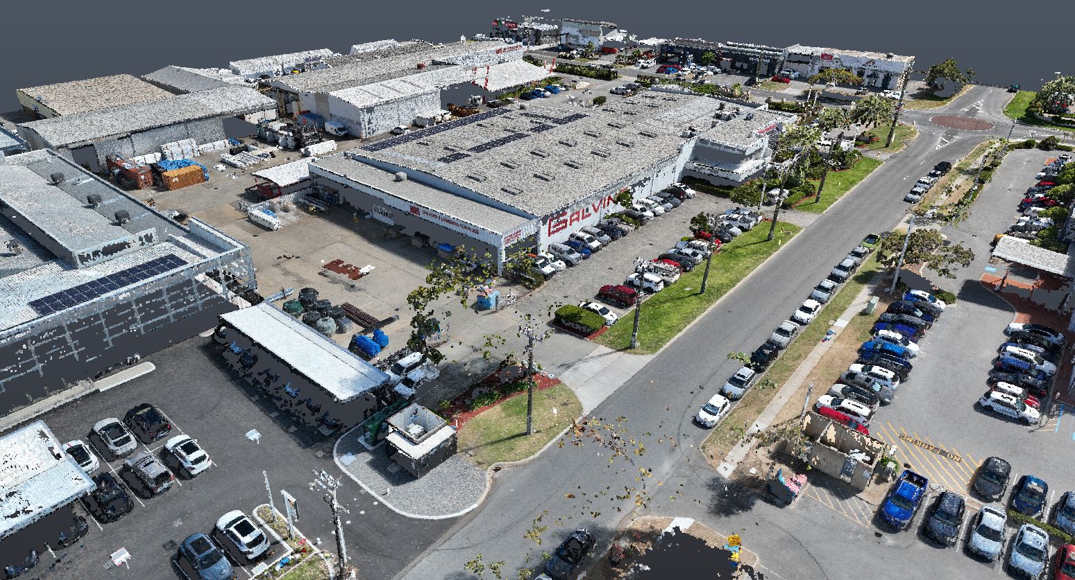
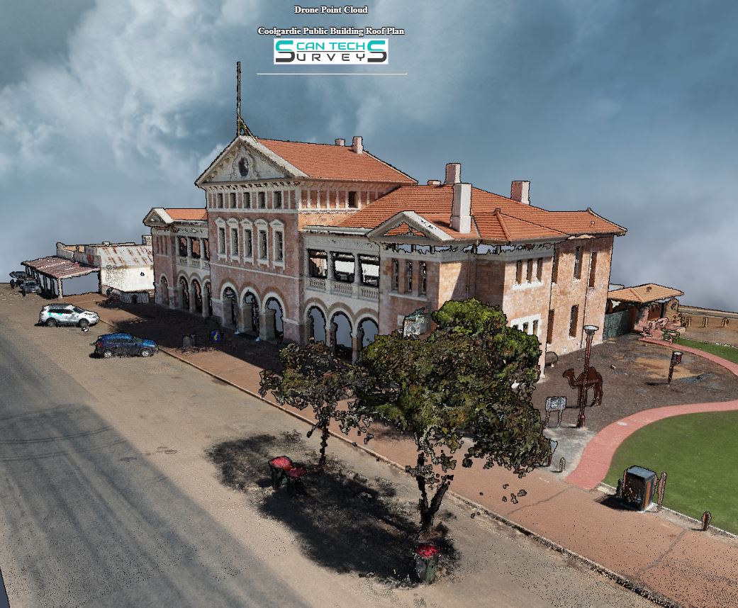
Unlocking a new perspective from above, drone mapping empowers industries with accurate data and rich visuals. From farms to construction sites, its wings of innovation capture insights that transform possibilities into realities.
Drone mapping, also known as aerial mapping or remote sensing, involves the use of drones (unmanned aerial vehicles or UAVs) equipped with various sensors to capture data and imagery for creating accurate and detailed maps of a specific area or location. This technology has gained significant popularity due to its efficiency, cost-effectiveness, and versatility in various fields, including agriculture, land surveying, environmental monitoring, construction, archaeology, and more.
Wear & Tear Analysis
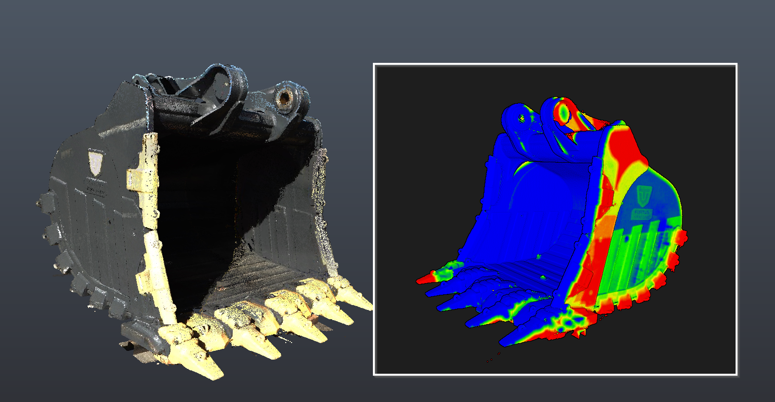
At Scan Tech Surveys, we provide comprehensive Wear and Tear Analysis services to help you maintain the functionality, safety, and longevity of your assets. Using advanced technologies like 3D scanning, imaging, and monitoring systems, we assess the gradual degradation of materials, structures, and systems caused by normal use and environmental factors
Dilapidation Surveys
At Scan Tech Surveys, we specialize in using 3D virtual tours to revolutionize dilapidation surveys. Our advanced technology offers a highly accurate, efficient, and accessible solution for documenting the condition of a property. Unlike traditional methods that rely on static photographs, written descriptions, and physical inspections, our 3D virtual tours deliver an immersive, interactive experience, capturing detailed visual and spatial data of the property in its current state with unparalleled precision.
Check this Sample
Online 3D Virtual Tours
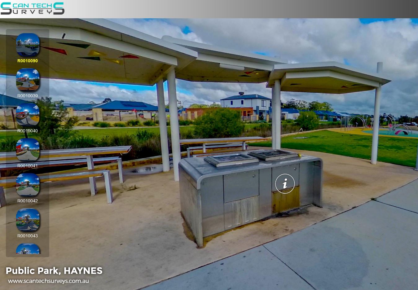
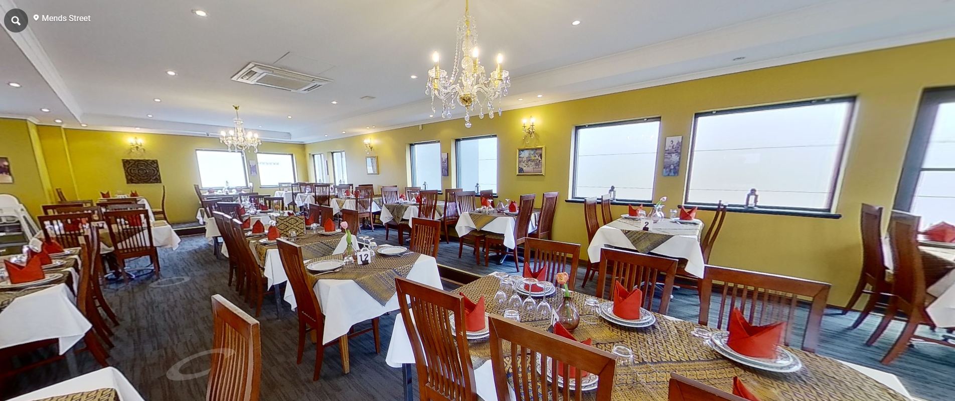
Bring your space to life with Scan Tech Surveys’ Online Virtual Tours. Using advanced 3D scanning technology, we create immersive, interactive tours that allow your clients, stakeholders, or team members to explore your property from anywhere in the world.
Our virtual tours are perfect for:
Commercial properties – Showcase offices, retail spaces, and industrial facilities.
Construction and project sites – Monitor progress remotely with accurate, up-to-date 3D scans.
Real estate – Give potential buyers or tenants an engaging, walkthrough experience without onsite visits.
With our platform, users can navigate seamlessly through your space, zoom in on details, and gain a true sense of scale and layout. Every virtual tour is hosted securely online, providing easy access via desktop, tablet, or mobile devices.
Scan Tech Surveys delivers high-quality, interactive virtual tours that save time, enhance communication, and elevate your property presentation. Experience the future of property visualisation today.
Refer to the Sample


